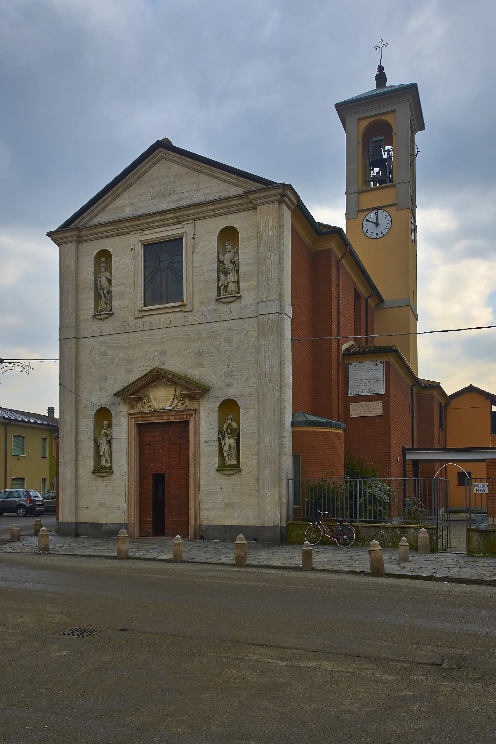
Rea lies in the Oltrepò of Pavia, on the right bank of the Po, and with that river it has a relationship all of its own. The Po here has changed course continually: it has found itself sometimes north of the village, sometimes east, sometimes west as it is now; in the seventeenth century it ran between Rea and Verrua, and a wide stretch of land that today lies in the Siccomario, still called Rotto di Rea, belonged to the Oltrepò and depended on this village. And yet, unlike so many other places along the river, Rea was never completely destroyed and never found itself on the other bank: as far as memory goes it has always been on this side. The river, though, remade it: the plan of the village, barely two centuries ago, was noticeably different from today's, and that is why a village known since the thirteenth century has a modern look.
In the thirteenth century it seems to have depended on the podesteria of Broni, then it passed to that of Casteggio, of which it was the northern limit, and at the beginning of the sixteenth century it was detached from it; it then belonged largely to the Beccaria del Mezzano, although it is not clear whether they were actually its feudal lords. In the eighteenth century the comune of Rea also included Bressana; at the beginning of the nineteenth Argine was joined to it, and is still its hamlet. In 1929 the comune was suppressed and united to Verrua Po, and reconstituted in 1954. In church matters Rea belonged to the diocese of Piacenza, as the Rationes Decimarum show, until the whole Oltrepò passed to that of Tortona. One curiosity: the comune has not yet adopted a coat of arms of its own. The economy rests on farming, on craft firms and on the paper industry.
Straight-line distances from the town centre. Tap a point to open its page.
Near Rea
The closest destinations covered by our editors, with straight-line distance.


