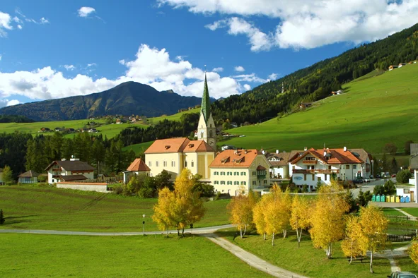
On the coat of arms of Terento, adopted in 1969, there is a black plough on a red field: nothing else, and no complicated symbolic explanation — it is the sign of what has always been done here. The village stands at 1210 metres on the sunny side of the Val Pusteria, and one reaches it from the east along the road they call the sun road, the Sonnenstraße. The other resource of the place is water: along the mill path, the Mühlenlehrpfad, a good many mills are preserved, and some still work during the year; in the same valley there are also the earth pyramids, those columns that stay standing because a boulder on top has sheltered the earth beneath it from the rain.
The third resource came later, and it is the sun again. In 2011 Terento, together with Prato allo Stelvio and Torre San Giorgio, won the national prize of the Solar Championship set up by Legambiente in the category of small comuni, those under five thousand inhabitants: among more than three thousand taking part. For the rest, the name is old: it appears as «in monte Tôrento» in the codex of the bishop of Freising between 993 and 1005, then as Toerenten in 1295, and comes perhaps from the Latin torrens. An administrative curiosity: although geographically in the Val Pusteria, in ecclesiastical terms Terento has always been tied to the parish of Rodengo, which is the last strip of the Isarco valley. Of the Schöneck family there remains instead the castle of Aschburg, in ruins.
Straight-line distances from the town centre. Tap a point to open its page.
Near Terento
The closest destinations covered by our editors, with straight-line distance.


Places to see within 25 km
Outside Terento, but an easy day trip away.