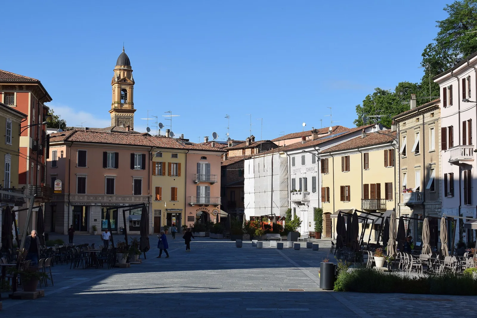
The town bears the name of a stream that can no longer be seen: the rio Vergaro, a tributary of the Trebbia, which crosses the built-up area but whose course, once in the open, has been almost entirely culverted. From rio Vergaro came Rivalgario, then Rivalegario, and finally Rivergaro. Other names here also count things that are not there: along the Roman road stood garrisons and posting stations, and two hamlets are still called Ottavello and Niviano, that is the eighth and the ninth mile. The place served to control the mouth of the val Trebbia, which is the way to the sea, and that explains the rest: from the eleventh century the castles around — Montechiaro, Ancarano, and on the far bank Pigazzano and Rezzanello — were the refuges of the Ghibellines every time the Guelphs were in charge at Piacenza.
Against those feuds an office was invented on purpose. Once the Piacenza country had entered the duchy of Milan, the Visconti instituted the captain of the ban: a third party, chosen from outside the disputes between the local noble families, who collected the excise, kept public order and punished those who went about armed without the right and those who exported goods on the sly. It did not help much: the skirmishes ended only in 1548, when the whole territory passed to the Anguissola-Scotti, who in the eighteenth century had their villa built on the foundations of the castle. The main square is named after Paolo, that is after the partisan captain Alberto Araldi, taken by the fascists in February 1945 and shot at Piacenza; and it is the same square the Trebbia floods when it comes out, as in 1908, in 1953 and on a night of September in 2015.
Straight-line distances from the town centre. Tap a point to open its page.
Near Rivergaro
The closest destinations covered by our editors, with straight-line distance.


Places to see within 25 km
Outside Rivergaro, but an easy day trip away.